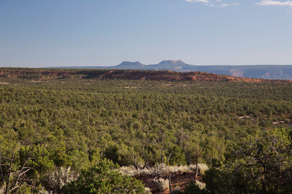
CALL TO ACTION: BEARS EARS NATIONAL MONUMENT – WE NEED YOUR HELP TO PRESERVE 18 OF UTAH’S SCENIC BACKCOUNTRY AIRSTRIPS
April 25, 2024
The BLM has progressed in the process of revising its Resource Management Plan (RMP) for the Bears Ears National Monument (BENM) and invites public comments to guide their final decision .
The BLM is proposing that aircraft only be allowed to take off and land at the Bluff Airport and the Fry Canyon Airstrip. By placing this limitation, it serves to essentially close the other 16 airstrips in the Bears Ears NM until someday when the BLM puts together their implementation-level travel plan and perhaps these airstrips might be reopened. All 18 of the airstrips have existed and been in use for the past 40-70 years and we request that none of them be closed or banned arbitrarily without first evaluating the merits of each.
RAF Utah Liaison and Utah Back Country Pilots board member Wendy Lessig says, “It is essential that we submit positive comments about preserving these recreational assets. Your voice counts!”
Please submit your BENM comments directly via this button:
The deadline to submit public comments is JUNE 11, 2024 .
Here are talking points for reference. Please submit your own individualized comments, and include positive, personal reasons for allowing access by private, non-commercial, fixed-wing aircraft:
· Access by GA aircraft for private, non-commercial use protects the objects and values of the National Monument.
· In addition to Bluff Airport and Fry Canyon, access should be provided for the other 16 airstrips by private, non-commercial, fixed-wing aircraft for recreational use, the same use that has been ongoing for the past 40-70 years.
· These existing airstrips are recreational assets, and provide for dispersed primitive camping, especially with increased use of the backcountry by “boondocking” road vehicles.
· Aviation has a very small environmental footprint, the lightest footprint form of access to these lands.
· Access by air requires NO road, nor infrastructure like bridges or corrals.
· Access by air eliminates miles of dusty road traffic.
· Most Utah backcountry airstrips predate the 1964 Wilderness Act. Access and use of these airstrips should be retained.
· Noise from aircraft is transient and of short duration.
· Airstrips are situated on natural flat land features, such as level, open meadows with little occurrence of soil disturbance or erosion.
· Airstrips provide vital access to aid Search and Rescue, emergency response, and firefighting.
· Airstrips offer possible life-saving options when small aircraft encounter mechanical problems or deteriorating weather conditions while flying over the relatively unforgiving terrain in southern Utah.
· Peer-reviewed research substantiates that small aircraft noise has no detrimental impact on wildlife.
· Backcountry airstrips offer recreational access to the disabled and those with limited mobility and without the need for strenuous physical activity to enjoy our public lands.
· Airstrips are trailheads: aviators are non-motorized recreationists, participating in hiking, camping and other low-impact activities. These users practice “Leave No Trace” ethics.
· The Recreational Aviation Foundation and the Utah Backcountry Pilots work in collaboration with the BLM and USFS to provide cooperative maintenance of backcountry airstrips, saving administrative resources that can be used elsewhere.
Your public comments count. Please click the button above to officially submit comments to the BLM. Comments need to be submitted personally via the button and not in the comments section of this article. We are unable to forward comments on your behalf.
Thank you for helping preserve these unique and priceless backcountry aviation assets.
These 18 airstrips are in the BENM and could potentially be affected:
| Airstrip | Latitude | Longitude | Documented Existence Year |
|---|---|---|---|
| Brown’s Rim | 37.854 | -110.299 | 1952 |
| Fry Canyon South | 37.613 | -110.139 | 1952 |
| Sipapu Bridge | 37.6255 | -110.034 | 1952 |
| Deer Flat | 37.6654 | -110.027 | 1954 |
| Dry Fork Canyon | 38.0933 | -109.616 | 1954 |
| Hammond-Kigalia Point | 37.6843 | -109.773 | 1954 |
| Bluff | 37.2535 | -109.636 | 1962 |
| Mule Canyon | 37.4739 | -109.71 | 1962 |
| Red House Spring | 37.4815 | -110.184 | 1963 |
| Dark Canyon North | 37.89585 | -110.089 | 1980 |
| Dark Canyon South | 37.8242 | -110.09 | 1980 |
| Fry Canyon | 37.6515 | -110.171 | 1980 |
| Long Canyon | 37.7817 | -110.159 | 1980 |
| Clay Hills Crossing | 37.317 | -110.367 | 1987 |
| Lockhart Basin | 38.3268 | -109.706 | 1987 |
| Lockhart Road | 38.3292 | -109.681 | 1987 |
| Polly Mesa | 37.3877 | -110.124 | 2006 |
| Valley of the Gods | 37.2531 | -109.92 | 2006 |
Photo credit: Bureau of Land Management
Posted in News
Recent Posts